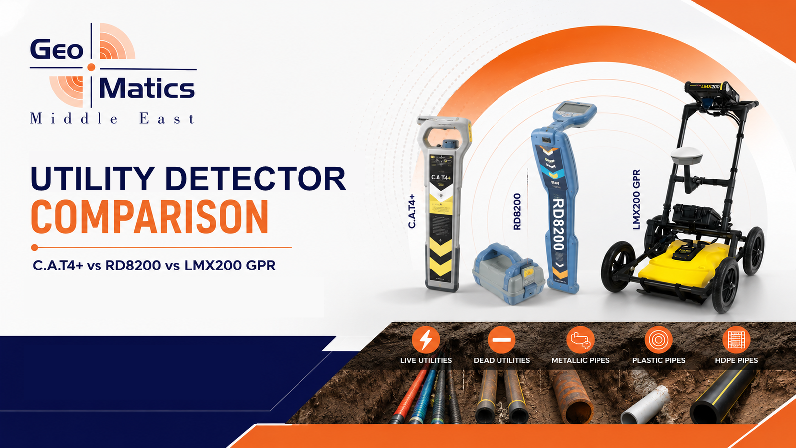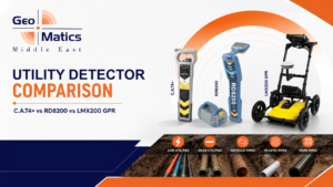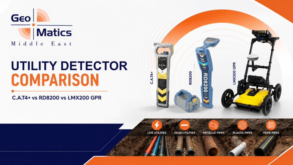
If you work in construction, telecom, or oil & gas anywhere in Oman or the wider GCC, you have almost certainly faced this question before you break ground: which locator should the crew be carrying today? Radiodetection alone sells more than one type of locator, and then there is GPR on top of that. The CAT4+, the RD8200, and the LMX200 GPR all detect buried infrastructure, but they are built for different stages of a project, different budgets, and different types of utilities.
This guide breaks down what each tool actually does, where it excels, where it falls short, and how the three fit together on a real jobsite — so you can avoid the two most expensive mistakes on any excavation project: hitting a utility you didn’t know was there, or renting equipment that was never going to find it in the first place.
Quick Comparison: CAT4+ vs RD8200 vs LMX200 GPR
| Feature | CAT4+ | RD8200 | LMX200 GPR |
|---|---|---|---|
| Category | Cable avoidance tool (CAT & Genny) | Precision cable & pipe locator | Ground penetrating radar (GPR) |
| Detects | Live power, radio, and Genny-induced signals on metallic conductors | Metallic cables and pipes via passive, active, and sonde frequencies, plus current direction tracing | Any subsurface object with a density/material contrast — metallic and non-metallic |
| Best for | Pre-dig safety scanning, day-to-day excavation checks | Precise tracing, depth estimation, and mapping of known conductive utilities | Locating plastic/PVC pipes, concrete drainage, voids, and undocumented or “as-built unknown” utilities |
| Non-metallic pipes (PVC, HDPE, concrete) | No (unless traced with a sonde) | No (needs a sonde or traceable rodder inserted into the pipe) | Yes — this is its core strength |
| Depth reading | Estimated depth, good for quick checks | Precise depth via TruDepth, correctly oriented over the target | Depth profile shown directly on the radar image, to several metres depending on soil conditions |
| Typical user | Excavation crews, ground workers, telecom & electrical contractors | Utility locating technicians, survey teams, damage-prevention specialists | Subsurface utility engineers (SUE), surveyors, GPR technicians |
| Skill level required | Low — built for daily field use with minimal training | Moderate — more locating modes and interpretation involved | Moderate to high — radar imagery needs a trained eye to interpret correctly |
1. CAT4+: The Everyday Pre-Dig Safety Tool
The CAT4+ is Radiodetection’s cable avoidance tool, and it is the instrument most construction crews reach for before any excavation starts. It works in four modes — Avoidance, Power, Radio, and Genny — scanning simultaneously for live electrical, radio, and Genny-induced signals so an operator can sweep a dig area in a single pass.
What sets the CAT4+ apart from the standard CAT4 is its added depth estimation function, on top of the same Dynamic Overload Protection that keeps the unit working reliably near substations and high-voltage lines, and the StrikeAlert feature that warns the operator when a shallow cable is close to the surface.
Where the CAT4+ fits on a project
- Daily pre-excavation checks before trenching, drilling, or piling
- Confirming live power and telecom cables before hand-digging near known services
- Fast, low-training-overhead scanning for site safety officers and excavation crews
Where it falls short
The CAT4+ is built for speed and safety, not precision mapping. It cannot see non-metallic pipes on its own, and depth readings are an estimate rather than a survey-grade measurement. Paired with a Genny transmitter it can trace more utility types, but for detailed tracing and accurate depth logging on complex sites, teams typically move up to a precision locator like the RD8200.
2. RD8200: Precision Locating and Tracing
The RD8200 is Radiodetection’s precision cable and pipe locator, a step up from the CAT4+ in both capability and the level of detail it gives back to the operator. It uses multiple passive, active, and sonde frequencies, has a sunlight-readable transflective display, and applies TruDepth technology that only reports depth and current readings when the unit is correctly oriented directly above the target — which removes a lot of the guesswork that leads to inaccurate depth calls in the field.
A standout feature is Current Direction, which uses a specialised signal from a Tx transmitter to confirm you are tracing the correct line through a congested utility corridor, rather than accidentally following a parallel cable. The unit also includes a gyroscopic swing-detection system, vibration alerts, and (on the RD8200G) automatic usage logging that captures every locate for reporting or compliance purposes.
Where the RD8200 fits on a project
- Precise tracing and depth logging of known metallic utilities before design or excavation
- Congested utility corridors where several cables run in parallel
- Sites near substations or high-voltage lines where electrical noise defeats less capable locators
- Utility mapping projects that need GNSS-tagged, exportable locate data
Where it falls short
Like the CAT4+, the RD8200 is fundamentally an electromagnetic locator. It locates metallic conductors directly, and detects non-metallic pipes only indirectly, by tracing a sonde or traceable rodder pushed through the pipe. If a PVC or HDPE line has no tracer wire and no accessible end to insert a sonde, the RD8200 has no signal to follow — that gap is exactly what GPR is built to close.
3. LMX200 GPR: Seeing What Electromagnetic Locators Can’t
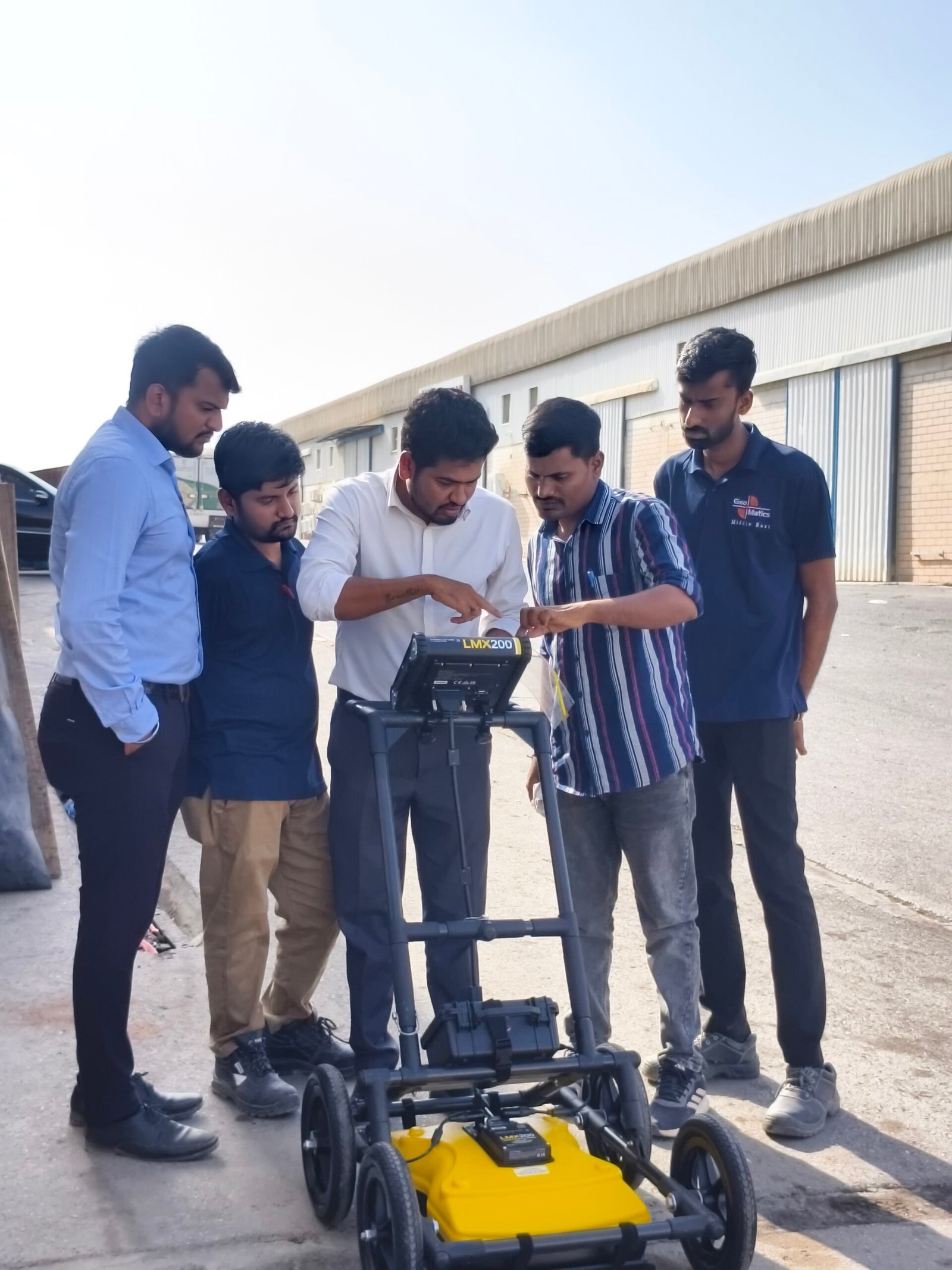
The LMX200 from Sensors & Software is a ground penetrating radar system, and it works on a completely different principle than the CAT4+ or RD8200. Instead of detecting an electromagnetic signal from the utility itself, it sends radar pulses into the ground through a 250 MHz ultra-wideband antenna and reads back the reflections created wherever the subsurface material changes — a pipe, a void, a change in soil layers, a slab edge, or a buried tank.
Because GPR doesn’t rely on the target carrying or reflecting an electrical signal, it can detect utilities and features that a CAT4+ or RD8200 physically cannot see, including non-metallic pipes such as PVC and asbestos cement, concrete storm and sewer lines, and undocumented or unmarked infrastructure with no tracer wire at all. The LMX200 adds Grid Scan mode, FrequenSee target enhancement across shallow, medium, and deep ranges, internal GPS with optional external GNSS for survey-grade mapping, and data export into EKKO_Project software for reporting and CAD/GIS deliverables.
Where the LMX200 fits on a project
- Locating non-metallic pipes and cables with no traceable signal
- Subsurface Utility Engineering (SUE) and utility mapping deliverables
- Verifying as-built records or investigating sites with unknown/undocumented utilities
- Detecting voids, tanks, slab thickness, and other non-utility subsurface features
Where it falls short
GPR performance is soil-dependent — dense clay or highly conductive ground can limit penetration depth, and reading the radar image accurately takes more training than reading a locator’s bargraph and audio tone. It is also a slower, more deliberate survey process than a CAT4+ walkover scan, which is why most professional teams use GPR to complement electromagnetic locating, not replace it.
How These Three Tools Work Together
On a properly de-risked jobsite, the CAT4+, RD8200, and LMX200 GPR aren’t competing products — they’re three layers of the same utility detection workflow:
- CAT4+ for the fast, mandatory pre-dig sweep that catches live cables before anyone breaks ground.
- RD8200 for precise tracing and depth logging of the metallic utilities the CAT4+ flags, especially in congested or electrically noisy corridors.
- LMX200 GPR for the utilities neither locator can see — non-metallic pipes, concrete drainage, and anything undocumented — and for full subsurface mapping deliverables.
Relying on only one of these tools is how non-metallic pipe strikes and “unknown utility” incidents happen. Combining them gives a complete picture of what’s underground before a single shovel goes in the ground.
Frequently Asked Questions
Can the CAT4+ replace the RD8200?
Not for precision work. The CAT4+ is designed for fast pre-dig safety scanning, while the RD8200 offers finer frequency control, current direction tracing, and precise depth logging for detailed locating and mapping projects.
Do I need GPR if I already have a CAT4+ and RD8200?
Yes, if your site has any chance of non-metallic pipes, undocumented utilities, or concrete drainage. Electromagnetic locators like the CAT4+ and RD8200 can only detect utilities that carry or can be induced to carry a signal — GPR is the only one of the three that can see targets with no signal at all.
Which tool gives the most accurate depth reading?
The RD8200’s TruDepth feature gives the most precise depth reading for metallic utilities when the unit is correctly oriented above the target. The LMX200 GPR shows depth directly on the radar profile, which is more useful for non-metallic targets and layered subsurface features.
Which one should I rent for a one-off project in Oman?
It depends on what’s likely underground. For general excavation safety, a CAT4+ is usually enough. For utility mapping, congested corridors, or a site with known or suspected non-metallic pipework, pairing an RD8200 with an LMX200 GPR gives the most complete result.
Get the Right Locator for Your Project
GME supplies, rents, and calibrates the full Radiodetection and Sensors & Software range across Oman and the GCC, including the CAT4+, RD8200, and LMX200 GPR. Talk to our team about your site conditions and utility types, and we’ll help you put together the right combination of equipment before you dig.